
A quiet and meandering river, there is no denying how the Peace River got its name. Described as serene and still, this easy-flowing body of water has a unique and interesting history.
- The Peace River is a watershed. A watershed is an area of land that water flows across as it moves toward a common body of water like a stream, lake, or coast. With headwaters in Polk County, the Peace River flows through swamps, flatwoods, hardwood hammocks, and marshes before it arrives in the Charlotte Harbor estuary. Known locally as the Peace River Valley, the watershed encompasses over 2,300 square miles.
- The Peace River is a blackwater river. Florida has three types of rivers: alluvial, blackwater, and spring-fed. The Peace River is a blackwater river. This type of river has dark and stained waters because it drains the flatwood and cypress swamps. The riverbed consists of layers of sand, clay, and limestone particles.
- It is south of the Hydraulic Divide. An interesting fact about the Peace River is that it lies south of the Hydraulic Divide. Fresh water enters Florida from states like Georgia and Alabama. The divide marks the line where water from those states ceases to flow. This line bisects the state of Florida from the west coast at Cedar Key to the east coast at New Smyrna Beach. That being so, the Peace River receives its fresh water strictly from rainfall.
- The Seminole Indians made their home on the Peace River. The Seminole Indians made the river their home after being displaced in the southeastern United States. The Seminoles settled on the banks of the river in the early 1700s. Later in that century, they experienced violent battles over land ownership. These ongoing battles destroyed every Indian settlement in the Peace River Valley.
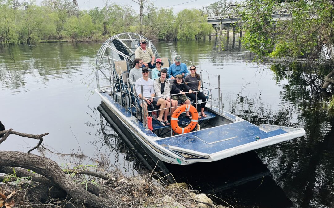
Experience Peace River for Yourself
Join us for an airboat tour or swamp buggy ride and enjoy the natural wonders of the river. We’re located in DeSoto County, just a short drive from Sarasota, Venice, North Port, and Myakka City. Reserve your tour today.